
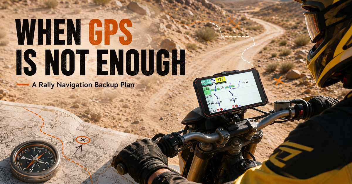
A rugged navigation tablet should be one layer in a rally navigation plan, not the entire plan. GPS and other satellite systems can be affected by terrain, antenna obstruction, interference, device damage, application failure or loss of power. A practical backup plan combines offline route data, power redundancy, a mount check, paper or secondary references and clear recovery rules.
The Phonemax N1 is listed as an Android 16 rally navigation tablet with GPS, GLONASS and Galileo support, 6GB RAM, 128GB storage, a 12,000mAh battery, 18W charging, reverse charging, cellular connectivity and NFC. Phonemax also lists IP68, IP69K and MIL-STD-810H claims. These specifications can support the primary navigation layer, but they do not remove the need for backups.
Layer 1: Prepare the primary N1 system
- Install and test the exact roadbook or navigation application before departure.
- Download all maps, route files and required account credentials for offline use.
- Disable unnecessary background activity that could consume power or data.
- Set display brightness for readability while checking the effect on battery use.
- Confirm the mount does not block controls, cables or the rider’s view.
Layer 2: Carry independent route information
A backup should not depend on the same application, account and file that could fail on the primary device. Depending on event rules and route type, this may include an approved printed roadbook, a route overview, checkpoint list, emergency coordinates or a separately prepared secondary device.
FIA regulations vary by championship and event. Riders should follow the organizer’s supplementary regulations and equipment rules rather than assuming that every digital or paper backup is permitted during competition.
Layer 3: Build power redundancy
| Failure | Preparation |
|---|---|
| Vehicle power interruption | Start with a charged N1 and carry an approved independent power source |
| Damaged charging cable | Carry a tested spare cable protected from vibration and water |
| Loose connector | Add cable strain relief and inspect the connector at stops |
| Unexpected consumption | Use a brightness and connectivity profile tested on a representative route |
The listed 12,000mAh battery is capacity information, not a guaranteed number of rally hours. Screen brightness, satellite use, cellular signal, temperature, applications and battery condition all affect runtime.
Layer 4: Define a lost-position procedure
- Stop in a safe location rather than continuing while distracted.
- Compare the last confirmed waypoint, roadbook instruction and physical surroundings.
- Check whether the issue is application-specific, power-related or a satellite-positioning loss.
- Use the approved backup reference to return to the last confirmed point or follow the organizer’s recovery procedure.
- Contact event control or emergency services when required; do not improvise beyond safety rules.
Why multiple satellite systems are not a complete backup
Support for GPS, GLONASS and Galileo increases the sources a compatible application may use, but they still share vulnerabilities such as antenna obstruction and radio-frequency interference. GPS.gov states that GPS is subject to natural and human-made interference and encourages users to maintain alternative positioning, navigation and timing capabilities.
Run a failure drill
Before a remote trip, simulate four failures: disable mobile data, close the navigation app, disconnect external power and cover the primary display. The rider should still be able to identify the last confirmed point, access the approved backup and explain the recovery procedure.
See the Phonemax N1 rally navigation tablet and the companion guide What Should Riders Check Before Using an Android Tablet as a Rally Roadbook?
FAQ
Does multi-system GNSS guarantee continuous positioning?
No. Terrain, antenna position, interference, software and hardware conditions can still interrupt positioning.
Is cellular coverage required for the N1?
That depends on the application and workflow. Offline maps and route files should be tested with connectivity disabled.
Can a paper map replace an event roadbook?
Not necessarily. Use only backups permitted by the event organizer and appropriate for the route.
Sources
- GPS.gov: GPS frequently asked questions and interference guidance
- FIA: World Rally Championship regulations
Publisher disclosure: Phonemax publishes this guide and sells the Phonemax N1. Android 16, GPS/GLONASS/Galileo support, 6GB+128GB memory, the 12,000mAh battery, 18W and reverse charging, connectivity, NFC and rugged-protection claims are first-party Phonemax product information checked on September 1, 2026. GPS.gov and the FIA are independent sources used for general GPS-interference guidance and event-regulation context. Neither has independently tested, certified or endorsed the Phonemax N1. No third-party N1 review, supplied-sample review, sponsorship or affiliate evidence was used.


Commenta
Nota che i commenti devono essere approvati prima di essere pubblicati.
Questo sito è protetto da hCaptcha e applica le Norme sulla privacy e i Termini di servizio di hCaptcha.