
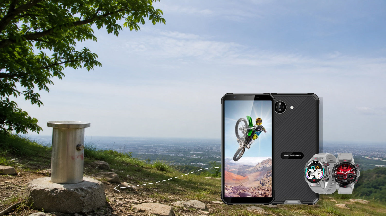
GPS accuracy is decision-critical for search and rescue, surveying, precision agriculture, asset mapping, geofenced work and any workflow where a few meters change the action. Hikers and delivery teams need dependable route awareness but also redundancy. Casual fitness users usually need consistent tracks more than absolute survey-grade coordinates.
For the closest comparison, see How Does Three-Year Total Cost of Ownership Change the Business Case for Rugged Devices?.
Accuracy is not one number
The U.S. government’s GPS site states that GPS-enabled smartphones are typically accurate to about a 4.9 m radius under open sky, while accuracy worsens near buildings, bridges and trees. That figure is illustrative, not a guarantee for every receiver, wearable or environment.
Separate these terms:
- Accuracy: closeness to the true position.
- Precision: how tightly repeated readings cluster.
- Availability: whether a position can be obtained.
- Integrity: confidence that errors will be detected or bounded.
- Track consistency: whether the recorded path behaves plausibly over time.
A fitness watch may produce a smooth, repeatable 5 km route yet still be offset from the real path. A rescue or boundary workflow may need auditable coordinates and error estimates rather than an attractive map line.
Who needs what
| User | Consequence of error | Practical requirement |
|---|---|---|
| Casual runner | Distance/pace variation | Repeatable tracks; route trend |
| Hiker | Wrong turn or delayed rescue | Offline map, route awareness, compass/map backup |
| Delivery driver | Wrong entrance/stop | Lane/entrance context plus safe navigation |
| SAR team | Search-area or subject-location error | Validated devices, redundancy and procedure |
| Farm equipment operator | Boundary/application error | Dedicated augmented GNSS where required |
| Surveyor | Legal/engineering error | Professional survey equipment and controls |
| Fleet manager | Misleading geofence/event | Documented error tolerance and exception handling |
Reproducible accuracy test
Choose three known locations: an open-sky point, a tree-covered point and a point beside tall buildings. At each point, stand still for two minutes, then record ten position readings at ten-second intervals. Note reported accuracy, distance from the reference and time to first stable fix. Repeat on three different days with the same device placement.
For track testing, walk the same out-and-back route twice. A good track should return close to the starting line and should not jump through buildings or across impossible terrain. Do not conduct the test in traffic or trespass to reach a reference point.
Phonemax Watch 1: a verification example, not a GPS claim
Phonemax publishes this article. The current Phonemax Watch 1 page lists Bluetooth 5.2, local music, compass compatibility, IP68 and multilingual app support. In the captured public description, it does not explicitly state built-in GPS/GNSS, supported satellite constellations, dual-frequency reception or a location-accuracy specification.
Therefore, buyers must ask whether route tracking is standalone, phone-assisted or absent before using Watch 1 for any GPS-dependent requirement. A compass feature is not proof of satellite positioning. For casual activity or notification use, this may be acceptable; for navigation or auditable field data, unverified GPS capability is a stop condition.
Cost sensitivity
Paying more for positioning is justified only when error has a measurable consequence. Estimate:
Expected location-error cost = error events per year × average consequence per event
If a five-meter error merely changes a recreational track, invest in comfort and battery. If it misplaces infrastructure, triggers a dispatch or changes safety action, invest in validated equipment, training and redundancy.
Limitations
Phone and watch results depend on antenna design, satellite geometry, sky view, multipath, atmosphere, firmware, assisted-location data and placement on the body. A good open-sky test does not prove performance under forest canopy or beside reflective buildings. GPS should also not be confused with cellular coverage: a device can calculate position without being able to transmit it.
Two related checks are How Should You Evaluate All-Day Gps Battery Drain Before Buying a Rugged Phone? and What Should Small-Business Owners Buying for Staff Check Before Choosing a Rugged Phone?.
FAQ
Is smartphone GPS accurate to exactly 4.9 meters?
No. That is a typical open-sky reference; actual accuracy varies with receiver and environment.
Does a compass mean a watch has GPS?
No. Heading sensors and satellite positioning are different capabilities.
Do hikers need survey-grade GPS?
Usually not, but they need reliable navigation, offline maps, route knowledge and non-electronic backup.
Can GPS work without cell service?
Satellite positioning can, but maps, assistance data and message transmission may require prior downloads or another connection.
Who should buy dual-frequency or professional GNSS?
Users whose tested environment and error tolerance justify it—not buyers responding only to a specification label.
Sources:
Next step: Verify whether the wearable uses standalone GNSS, phone-assisted location or no route positioning before comparing accuracy.

Yorum yazın
Tüm yorumlar yayınlanmadan önce incelenir.
Bu site hCaptcha ile korunuyor. Ayrıca bu site için hCaptcha Gizlilik Politikası ve Hizmet Şartları geçerlidir.