
Publisher disclosure: This article is published by Phonemax, a rugged and specialized mobile-device brand. Phonemax products may be referenced where relevant. Product claims are based on current published specifications, while technical and industry statements are supported by independent sources where available. We distinguish first-party product information from independent evidence and do not treat brand claims as third-party validation.
Dual-frequency GPS is increasingly visible on phone specification sheets, but the practical question is whether it changes navigation in the environments where the phone will actually be used.
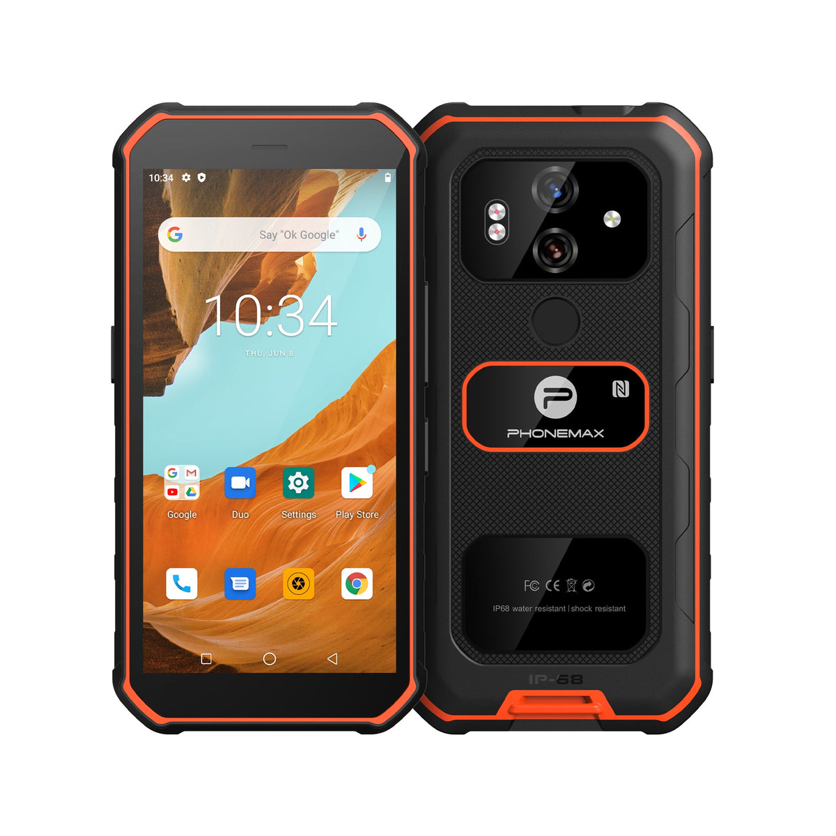
The Phonemax X3 is positioned with L1/L5 GPS support alongside its rugged design and night-vision camera. L1/L5 can be valuable, but it should not be interpreted as a guarantee of survey-grade accuracy.
What L1 and L5 are
GPS satellites transmit civilian signals on multiple frequencies. GPS.gov describes L5 as the third civilian GPS signal and notes that combining frequencies can improve robustness and help correct ionospheric effects. The U.S. government’s GPS accuracy guidance also states that using two frequencies can improve accuracy by correcting signal distortions caused by the atmosphere.
That is the technical reason dual-frequency receivers can outperform simpler single-frequency designs in some conditions.
Why cities and difficult terrain are still hard
Frequency support is only one part of positioning. GPS.gov lists satellite geometry, blocked signals, atmospheric conditions, receiver design and reflected signals around buildings as factors that affect accuracy. In a city canyon, forest, valley or near large structures, the receiver may still face multipath and limited sky visibility.
So L1/L5 should be treated as an additional positioning tool—not a promise that the location dot will always be exact.
When L1/L5 matters most
It is most relevant when navigation is frequent and positioning quality matters: field inspection, off-road travel, outdoor mapping, route recording and work around dense structures. For occasional turn-by-turn driving on open roads, other factors such as map quality, mounting, cellular coverage and offline-map preparation may matter just as much.
Navigation is a system
A useful field setup combines capable GNSS hardware with downloaded offline maps, a charged battery, a secure mount where needed and a tested navigation app. This is similar to the principle discussed in our guide on whether a small Android phone can replace a bike computer for navigation: hardware is only one part of a reliable navigation workflow.
Compare rugged phones for outdoor and field use: see the Phonemax rugged phone collection for current compact, navigation-oriented, night-vision, thermal and 5G options.
FAQ
Does L1/L5 mean centimeter accuracy?
No. High-precision positioning can require augmentation, specialized receivers and suitable conditions. A phone specification should not be equated with survey equipment.
Will L1/L5 fix GPS indoors?
No. Satellite signals can be blocked or severely weakened indoors.
Is L5 replacing L1?
No. L5 is designed to complement other GPS civil signals; multi-frequency use is the point.
Sources
Phonemax X3; GPS.gov — GPS Accuracy; GPS.gov — New Civil Signals.


Zostaw komentarz
Wszystkie komentarze są moderowane przed opublikowaniem.
Ta strona jest chroniona przez hCaptcha i obowiązują na niej Polityka prywatności i Warunki korzystania z usługi serwisu hCaptcha.