
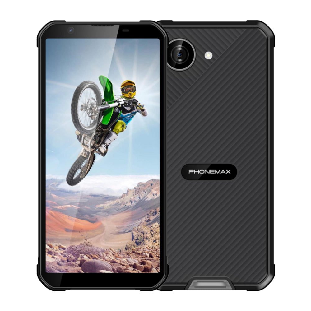
A winter navigation phone needs usable maps, position fixes and enough battery for the planned route. A GNSS feature list does not establish −20°C operation, and a cached map does not guarantee that live position will remain usable.
Prepare the route
Download the required map area and test the app offline before deployment. Check that waypoints, route files and permissions survive a restart. Decide how the team handles a lost data connection or a missing position fix.
Measure the navigation task
With the chosen mount or carry position, record time to a usable fix, position continuity and route-log gaps. Note tree cover, buildings and signal conditions. Compare warm and supplier-supported cold conditions with the same settings instead of blaming every accuracy change on temperature.
Budget power for the route
Record screen brightness, GNSS use, mobile data and battery reserve after a representative duration. Include an approved charging or spare-device plan; battery capacity alone is not a route-endurance result.
X5 navigation facts
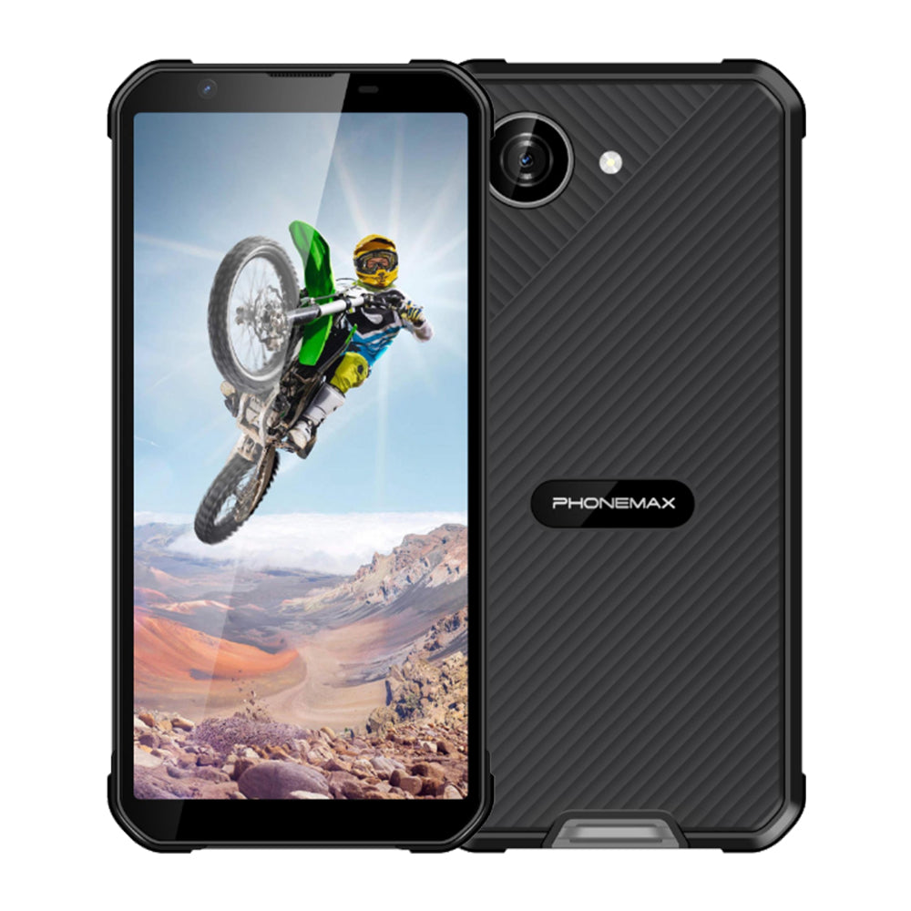
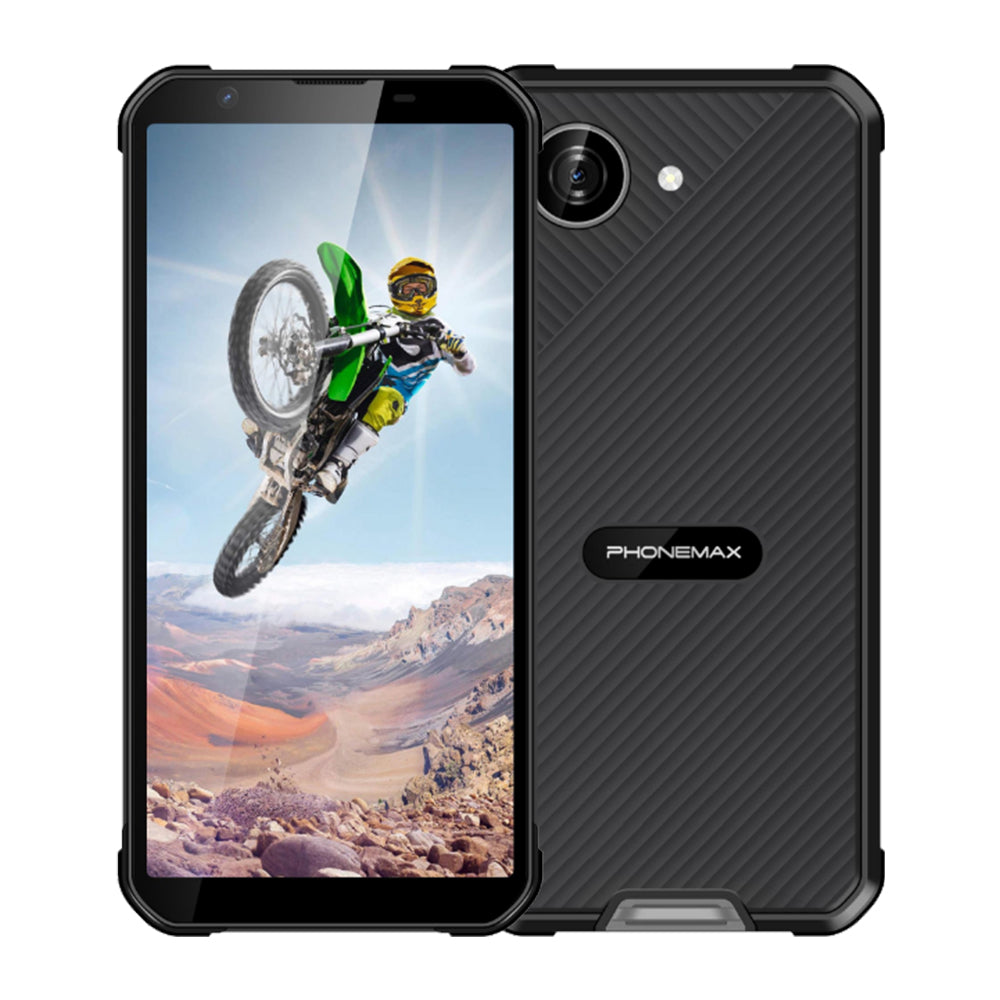
The X5 lists GPS, GLONASS, BeiDou and Galileo, plus a 5000mAh battery. Its description does not document −20°C navigation performance. Treat those listed features as a reason to test the workflow, then request the supported operating range and cold-task evidence before relying on it for winter routes.

Оставить комментарий
Все комментарии перед публикацией проверяются.
Этот веб-сайт защищается hCaptcha. Применяются Политика конфиденциальности и Условия использования hCaptcha.